The Digital Twin of the Alpine Region South Tyrol: Reality Reimagined.
We fuse spatial planning, tourism, and gaming into a hyper-realistic 1:1 simulation of the Alpine Region South Tyrol.
Based on Unreal Engine 5 and groundbreaking technology.
Solutions: Our Ecosystem
Smart City, Architecture & Real Estate
Participatory spatial planning for municipalities as well as photorealistic real-time visualization for architecture firms and real estate agencies. Simulate building projects, townscape impact, or properties 1:1 in South Tyrol.
Tourism & Experience
South Tyrol as a walkable metaverse. Explore hiking trails, ski slopes and much more! Weather-independent and barrier-free.
Fitness & E-Sports
Sport and training with real altitude data. Connect your smart trainer to DoloTwin and ride the Stoneman and Giro d'Italia routes realistically from the comfort of your own home. Or explore South Tyrol on your own!
Gaming & Simulation
Experience high-speed driving and racing simulations in an authentic environment. We provide a safe virtual space to test the limits—but please remember to speed responsibly in real life!
Vision & Team
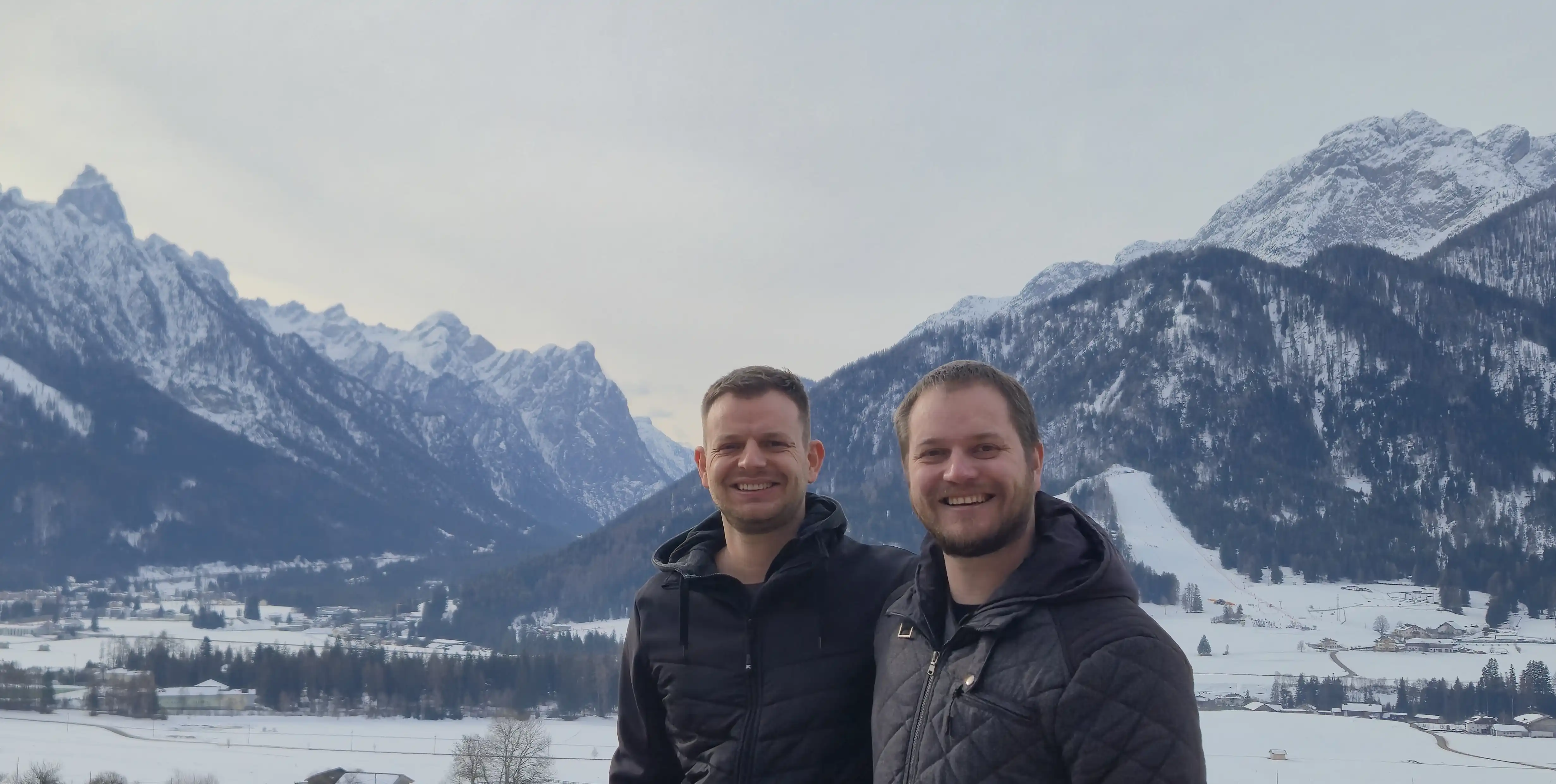
Our Story
At Dolomite Interactive, we believe virtual worlds should offer more than entertainment by delivering tangible value for society, the environment, and urban development. Founded in the heart of South Tyrol, our software studio was born from a shared passion for cutting-edge technology and the breathtaking landscapes of the Alps. After more than five years of dedicated development, we have created platforms that allow public institutions, planners, and citizens to visualize and shape their surroundings in unprecedented ways.
The Vision Behind DOLOTWIN
Our flagship project, DOLOTWIN, is a hyper-realistic digital simulation of the South Tyrolean region that transforms traditional spatial planning into an interactive experience. By integrating real-time geodata and sensor technology, the platform enables gamified citizen participation, civil protection simulations, and immersive fitness experiences via smart-bike integration. Ultimately, our mission is to empower communities to actively rethink and sustainably design their physical and digital environments through the power of serious gaming.
Meet the Founders
Dolomite Interactive is driven by the complementary expertise of two brothers who combine technical precision with creative vision. Their shared dedication to the Alpine region and innovative technology forms the foundation of the company.
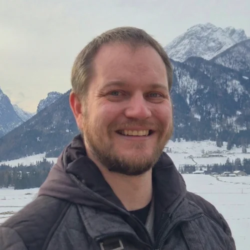
Thomas Taschler
At the founding of the company, Thomas contributed his extensive expertise in system architecture and IT infrastructure. His solid background in network engineering, along with his fascination for the possibilities of Unreal Engine 5 and artificial intelligence, were pioneering for the foundational technological concept of DoloTwin. Furthermore, as the founder of the Southtyrol Gaming Alliance, he is highly committed to the region's digital community.
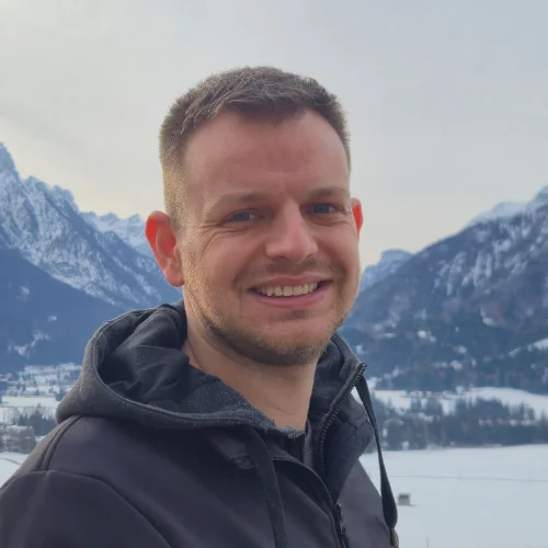
Martin Taschler
The visual and strategic direction of the original DoloTwin concept bears Martin's strong signature. His comprehensive skills in 3D modeling, UI/UX, and game design, which he passionately taught himself over the years, flowed into the conceptual phase. Shaped by valuable leadership experience in the public sector, his intuition for holistic concepts significantly contributed to the vision and successful founding of the company.
FAQ – Frequently Asked Questions about DoloTwin
Find transparent answers regarding our geodata, technology, legal frameworks, and collaboration with DoloTwin.
Where does the data used for the digital twin come from?
How do you ensure legal compliance when replicating buildings?
Who is behind DoloTwin and how long have you been working on it?
Thomas Taschler: Thomas contributed his extensive technical knowledge in systems architecture and IT infrastructure. His solid experience in network engineering and programming was crucial to DoloTwin's core technical architecture. As founder of the Southtyrol Gaming Alliance, he is also heavily committed to the regional digital community.
Martin Taschler: The visual and strategic direction of the original DoloTwin vision bears Martin's distinct signature. The concept phase integrated his comprehensive expertise in 3D modeling, UI/UX, and game design, along with his enthusiasm for the possibilities of Unreal Engine 5 and artificial intelligence. Shaped by years of executive leadership in the public sector (including heading a regional social district with budget and personnel responsibility), his strategic foresight and holistic conceptual approach contributed decisively to the vision and founding of the project.
Why should we use DoloTwin instead of having construction projects generated by AI?
What is the advantage over our traditional in-house rendering?
Does our office need expensive hardware or VR headsets to use the system?
What data do we need to provide for a visualization project?
Join the Vision
Community & Devs
DoloTwin thrives on its community. We are looking for developers, 3D artists, and partners to work with us at the intersection of geodata and gameplay.